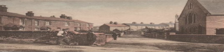
A history through pictures
 Maps
Directories
Miscellaneous
Maps
Directories
Miscellaneous
In this section you will find maps of the area dating from 1829 to 1967. These show the expansion of Rhostyllen from a small hamlet to the sprawling village that it is today. The earlier maps show houses and buildings long since demolished. Some of these are featured on various photographs contained within the site.
The directories will give you a flavour of the various shops and businesses that used to ply their trade in the “Village”. You may also discover that where you live used to be a shop! Does anyone know where Deacons Terrace, Clarence Street and Mountain Street were in the “Village”?
During my research I came across many old documents which I thought may be of interest but were difficult to sort and classify. As such they are included within the miscellaneous section.